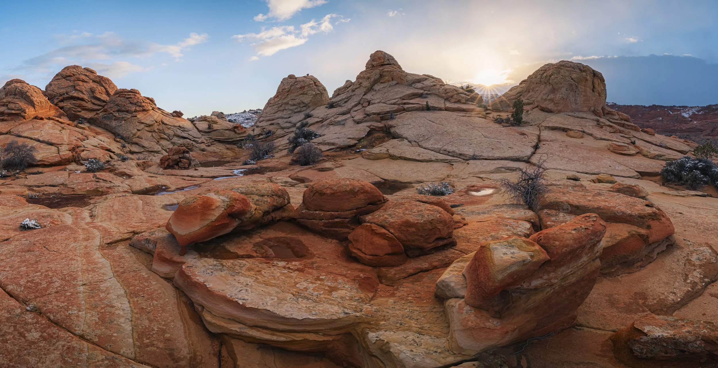
Coyote Buttes South | The Wave 2.0
Alternative to The Wave
My first reaction to losing the lottery to get a “Wave” permit was disappointment. Thankfully I had also applied to its neighbor South Coyote Buttes as well just in case. I wasn’t aware in the moment but this actually happened to be a blessing in disguise. If you are looking for more information about The Wave check out my blog from when I visited The Wave in Snow.
Coyote Buttes South Permit
The navigation map that the Kanab visitor office gave me when picking up my permit was super easy to read and follow. I had been on House Valley Rock Road and to White Pocket before so I knew what to expect in terms of driving and road conditions. Here is a link to a helpful map for driving in the Vermillion Cliffs area. The drive out in my standard SR5 4runner was easy and the parking lot for Cottonwood Cove was easy to find. I had heard the road to Paw Hole consisted of deeper sand and so I avoided that one but hope to visit that area of South Coyote Buttes one day.
Taking Photographs
I had seen some amazing photos of South Coyote buttes and was excited to visit and photograph some of the “iconic” rock formations there. I wasn’t sure what to expect at South Coyote Buttes, I thought the area to explore would be smaller than it was and that there would be a few cool formations that stuck out. I couldn’t have been more wrong. I was amazed when I walked up to the Paw Hole area at South Coyote Buttes and looked around. There were amazing rock formations and textures sprawling for miles in all directions. It was actually a bit overwhelming and I wasn’t sure where to start. I had head that “Cottonwood Cove” was a great area to walk around so that is what I did on my first trip to the area. I was so happy to see beautiful and unique rock formations that differed from one another in all directions. Below are a few of my favorite photos that I took on my first trip there. I got to witness an amazing sunset that was paired with a light but dramatic snowstorm nearby.
After visiting the area and seeing how much there was to explore I knew I had to go back. Unlike “The Wave”, you can go onto recreation.gov and get advanced permits for months in advance without having to win any lottery. Right after I returned home from my first trip I booked another date about a month later as I knew there was more to be seen. Anyways it was just another excuse to get out and photograph the Vermillion Cliffs area which is one of my favorites in all of the U.S. Southwest.
On my second trip to South Coyote Buttes I decided to explore the area to the right of the parking lot, across from Cottonwood Cove. There was supposed to be a prominent rock formation called the Chess Queen and there were some unique looking rocks I could see in the distance. It was a short hike to this area and the formations and patterns were pretty incredible! I would certainly make the time to explore this section as well as it is not too far of a walk and not a huge area to meander like the Cottonwood Cover area is. I also explored more of the Cottonwood Cove area on this trip and found some new and different formations a part from the main ones that I saw on Google and visited my first time. I was amazed at how many unique and amazing formations there were in this area and found a nice little spot to setup for a few different sunset compositions. I look forward to going back and exploring even more of the area knowing that it will take a few more trips to see it “all” but glad there is plenty left to be explored!
Photograph taken in Vermillion Cliffs, Arizona


