
Sycamore Point | Exploring a New Location for Landscape Photography
Planning The Visit
The idea to find this location came sitting in the window seat of an airplane. Upon the planes approach to land we flew right over the Sedona area. I was pretty familiar with the area but while flying over I saw an amazing canyon with a river running through the middle of the red rocks and green trees. I knew I wanted to figure out where the plan was in relation to Sedona and where this location I saw below was.
A few weeks later sitting around one day wanting to take a day trip to Sedona for sunset I still had this spot on my mind. I did some digging on Google maps of the area and finally found what I think I had seen from above. It was called Sycamore Point on Google Maps and was a cliff with a view that I could just drive up to. It was only a 2 hour drive away so I decided to get my gear packed up and head off to make it in time for sunset.
I will paste directions to the bottom of this blog. The dirt road to get there was flat and easy to navigate, I didn’t use my 4x4 drive at all. A lower clearance 2WD vehicle could make it on this road. The GPS took me right to the location I had pinned and it was easy to get there with no confusion off roading at all.
Capturing the moment of awe
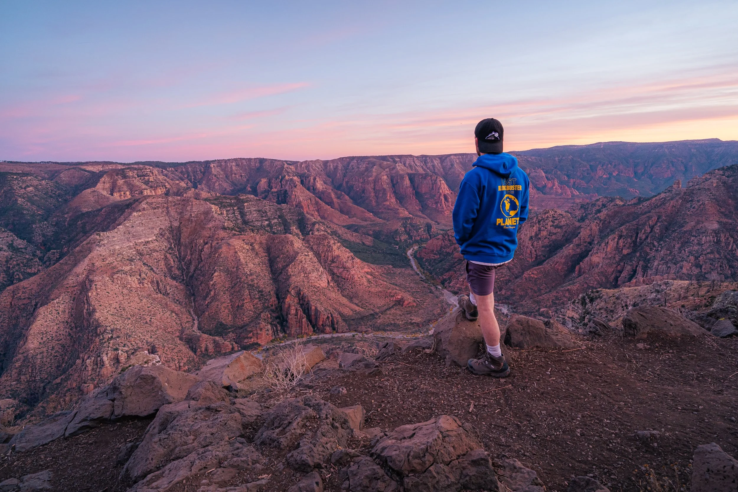
I pulled right up to the cliff and was surprised to have the spot to my own on a Friday night. I was also wondering why I had just now found out about this location that was pretty close to home and Sedona which I visit often. I know I’ll be back.
I got out and sent the drone over the canyon for some cool video footage which you can view in my YouTube video or on my social accounts. I also walked around the edge of the cliff looking for the best spot to set up my camera and tripod. There were some cactus to use for foreground but I decided I liked the ragged rocks that were on the edge as foreground more. I would like to come back and search for another foreground option though. I setup my camera and shot away, the sunset and view was incredible so it wasn’t hard to get a beautiful image.
Keep Exploring New Places!
This journey just goes to show that a little bit of curiosity can go a long way. I love trying to find places that aren’t well known or crowded with tourists and Google Maps satellite image is a great way to explore areas and look for interesting and new places.

Directions To Sycamore Point
From AZ-89
Turn onto Drake Rd between Paulden and Ash Fork
After about 10 miles turn left onto Perkinsville Road, the road will turn from dirt back into paved and you won’t be able to go straight anymore.
After 16 miles turn right onto Fire Road 110
From Williams
Start by heading South on 4th St which will then turn to Perkinsville Road
After 8 miles turn left onto Fire Road 110
From Fire Road 110
Continue straight for about 10 miles until the road end and then take a left on Fire Rd 11 which will turn into Sycamore Point Road
Continue straight for 5 miles on Sycamore Point Road until you get to the viewpoint.